Best Time to Visit Camotes Islands 2026
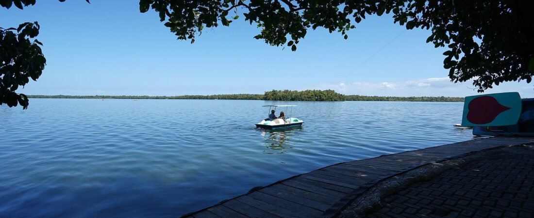
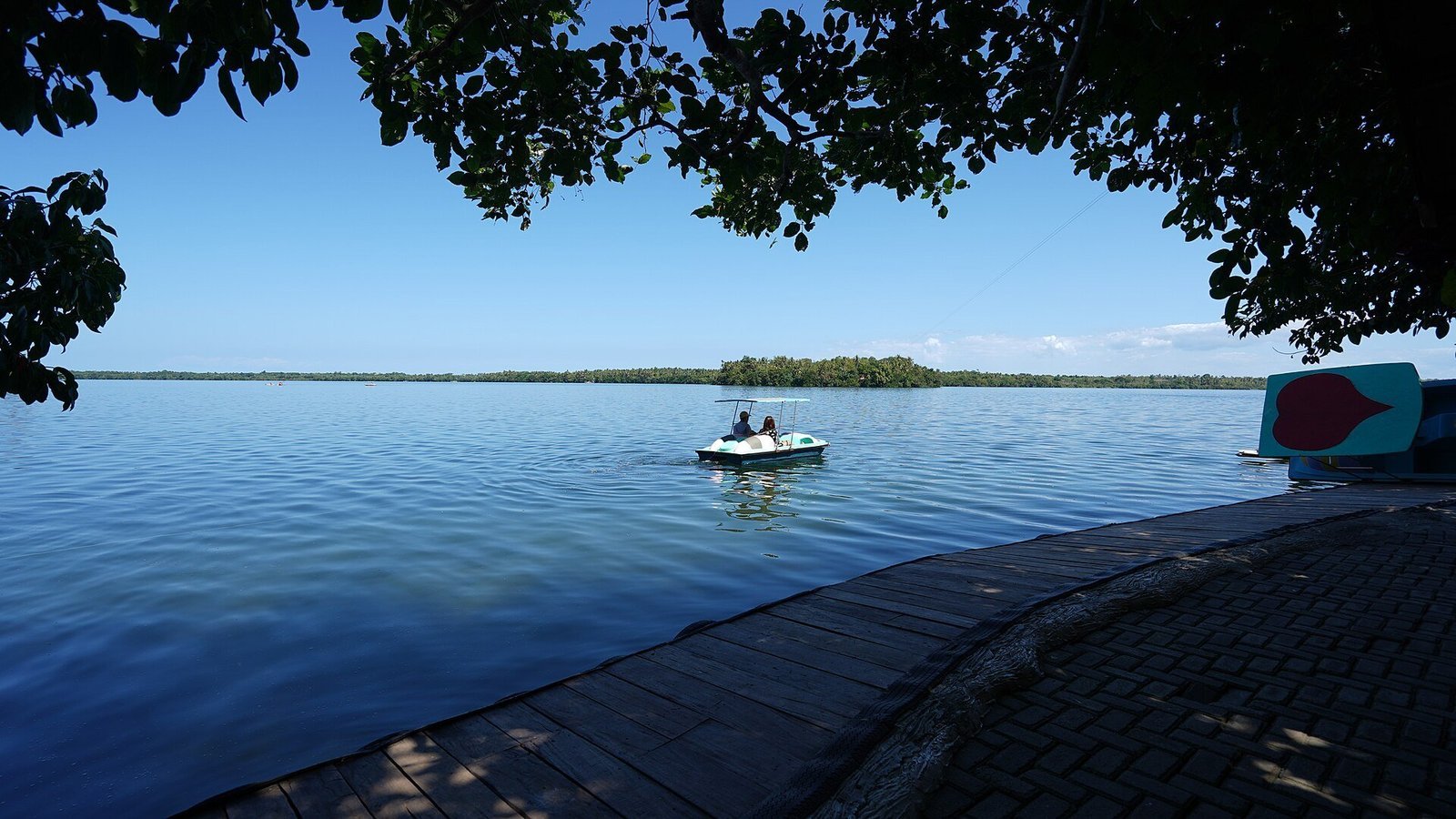
Illustrative lake and hillside scenery on Camotes Island; not a specific resort shown below
The Camotes Islands sit in open water in the Camotes Sea, between mainland Cebu and Leyte, so your visit depends on a ferry crossing that can be cancelled or slowed in rough weather. This guide focuses on timing a Camotes trip specifically for travellers who are building it into a short, fixed window around a wider Cebu itinerary and need the crossing itself to be reliable, not just the weather on the beach. It applies the general Philippine dry/wet season pattern to the Camotes–Cebu–Danao corridor rather than citing Camotes-specific meteorological data, which is not published separately for such a small island group.
Research-based guide · General Philippine seasonal patterns checked 16 October 2026. Weather and sea conditions vary year to year; check a short-range marine forecast before you travel, especially from July to October.
The Philippine Season Pattern, Applied to Camotes
Like most of the central Visayas, Camotes follows a dry season from roughly December to May and a wetter season from June to November. December through February tends to be the mildest and driest stretch, March to May turns hotter and still largely dry, and June onward brings more frequent rain and a higher chance of the tropical storms and typhoons that can disrupt inter-island ferries. Camotes sits in the Visayas rather than the typhoon-heavier corridors of northern Luzon or Eastern Samar/Leyte, but the Camotes Sea can still turn rough enough from July to October to delay or cancel sailings on short notice.
This pattern is driven mainly by the southwest monsoon (locally called the habagat), which brings the bulk of the rain from roughly June to September, and by the broader Pacific typhoon season, which peaks later, from around August to November. The two overlap enough that most of the second half of the year carries at least some elevated risk of rain or rough seas, even on days when no named storm is directly affecting the central Philippines. None of this means the wet season is a bad time to go — many travellers visit June through August without incident — but it does mean the odds of a disrupted crossing are meaningfully higher than in the December–May window.
What you pack is worth adjusting to match. For a December–May trip, light, breathable clothing, reef-safe sunscreen and a hat cover most of what you’ll need, since rain is the exception rather than the rule. For a visit in the June–November window, add a compact rain jacket or poncho and a dry bag for your phone and documents on the ferry crossing itself, since open-water fast craft and local ferries alike can take on spray in rough conditions. Quick-dry fabrics help regardless of season, since laundry options on the islands themselves are limited.
If diving or snorkelling is part of your plan, underwater visibility tends to follow the same seasonal logic as the ferries: calmer, clearer water in the dry months, and more sediment and swell once the rains set in. That doesn’t rule out wet-season diving, but it’s worth asking your operator about current visibility rather than assuming it matches a dry-season trip report you read online.
Quick Answer
December to May is the more dependable window for a short Camotes trip, with March to May running hotter. If you can only travel June to November, build a buffer day on the Cebu side of the crossing in case a sailing is cancelled.
Month-by-Month Overview
| Period | Conditions | Ferry reliability | Who it suits |
|---|---|---|---|
| Dec–Feb | Mild, relatively dry, lower humidity | Generally reliable | First-time visitors who want the safest window |
| Mar–May | Hot, dry, strongest sun | Generally reliable | Travellers prioritising beach time over cooler weather |
| Jun–Aug | Rain becomes more frequent | Occasional disruption | Flexible travellers with buffer days |
| Sep–Nov | Peak wet/storm season for the wider region | Highest disruption risk | Not recommended for a tight schedule |
None of this is Camotes-specific data — it is the regional pattern applied to the islands — so treat it as a planning guide rather than a forecast, and check conditions closer to your travel date.
Temperature varies less across the year in Camotes than rainfall does, since the islands sit close to sea level and close to the equator; expect daytime highs in the low-to-mid 30s Celsius for most of the year, with December to February feeling a few degrees cooler and noticeably less humid than the April–May peak. For most visitors, the practical question isn’t really temperature at all — it’s whether the ferry you need will be running on the day you need it.
Crowd Levels and Local Holidays
Camotes does not have the dense tourist infrastructure of islands like Boracay, so crowding is rarely the deciding factor the way it is elsewhere. The clearest exception is Holy Week (around late March or April, depending on the year), when domestic travellers from Cebu fill ferries and beach resorts across the central Visayas, Camotes included. If your dates fall near Holy Week, book both the ferry and your room well in advance.
Outside Holy Week, Camotes doesn’t really have a conventional high season the way Boracay or El Nido do. Weekends see a modest uptick in domestic day-trippers and short-stay visitors from Cebu, but the islands’ limited bed capacity means they rarely feel full even then. If avoiding crowds entirely is your priority, a midweek visit outside Holy Week in the December–February window is close to as quiet as Camotes gets.
Building in a Ferry Buffer
Because Camotes is reached only by boat, the single biggest planning risk is a cancelled sailing stranding you on the wrong side of the crossing, either missing time on the island or missing a flight out of Cebu. A one-day buffer on the Cebu side of your return crossing is cheap insurance during the June–November window, and even useful during the drier months if you are connecting to an international flight.
If you want the full route comparison between the Cebu City/Mactan, Danao and Ormoc crossings, see our guide to getting to Camotes from Cebu, which breaks down each operator, duration and fare.
It’s also worth checking ferry operator social media pages or calling the terminal directly on the morning of your crossing during the wet season, rather than relying solely on a printed schedule. Operators in this part of the Philippines commonly post same-day suspension notices when swells pick up, and a short phone call can save a wasted trip to the port.
How Camotes Compares to Other Cebu-Area Islands
Bantayan, reached from Hagnaya Port on northern Cebu, follows the same broad seasonal pattern but has a shorter, more sheltered crossing, which is part of why it sees more visitors year-round; see our Camotes vs Bantayan comparison for the full picture. Malapascua, off Cebu’s northern tip, is similarly exposed to the same wet-season pattern; our Malapascua diving guide covers visibility and conditions for diving specifically.
For an overview of the islands themselves before you settle on dates, our main Camotes Islands travel guide covers the four towns, getting around and where to stay.
None of the three islands follows a meaningfully different calendar — they all sit in the same general stretch of water and answer to the same monsoon and typhoon patterns — so the deciding factor between them is usually ferry frequency and crossing length rather than weather risk alone. A shorter, more frequent crossing simply gives you more chances to reschedule around a bad-weather day than a longer, twice-daily one does.
Sources for This Guide
This overview draws on general Philippine climate guidance rather than Camotes-specific weather stations, which don’t exist at this scale. The Wikipedia entry on the Camotes Islands covers the islands’ geography, the Lakwatsero Camotes guide notes the local advice to favour the dry season, and WhereAndWhen’s Camotes climate pages track month-by-month conditions in more detail than fits here.
Frequently Asked Questions
What is the best month to visit Camotes?
December to February for the most reliable mix of dry weather and steady ferry service, though March to May is also generally dry if you don’t mind more heat.
Is there a typhoon season in Camotes?
Camotes sits in the Visayas, which is less typhoon-exposed than northern Luzon or Eastern Samar/Leyte, but the Camotes Sea can still turn rough from roughly July to October.
Is Holy Week a good time to go?
It’s busy rather than bad weather-wise. Domestic travel spikes across the central Visayas during Holy Week, so book ferries and rooms well ahead if your dates fall then.
Should I worry about ferry cancellations?
Mainly from June to November. Build a one-day buffer around your return crossing during that window, especially if you’re connecting to a flight from Cebu.
Does the rest of Cebu follow the same pattern?
Broadly yes — Bantayan and Malapascua see the same dry/wet split, though their shorter, more sheltered crossings make them somewhat less exposed to disruption than Camotes, which is worth factoring in if you’re choosing between the islands for a wet-season trip.
If your travel dates are fixed and fall between June and November, Camotes is still workable, but plan the trip with a spare day around the ferry crossing rather than a tight back-to-back schedule, and keep an eye on operator announcements in the days immediately before you travel.